Arizona

Sunday, September 11, 2016

Kartchner Caverns State Park, Benson, AZ


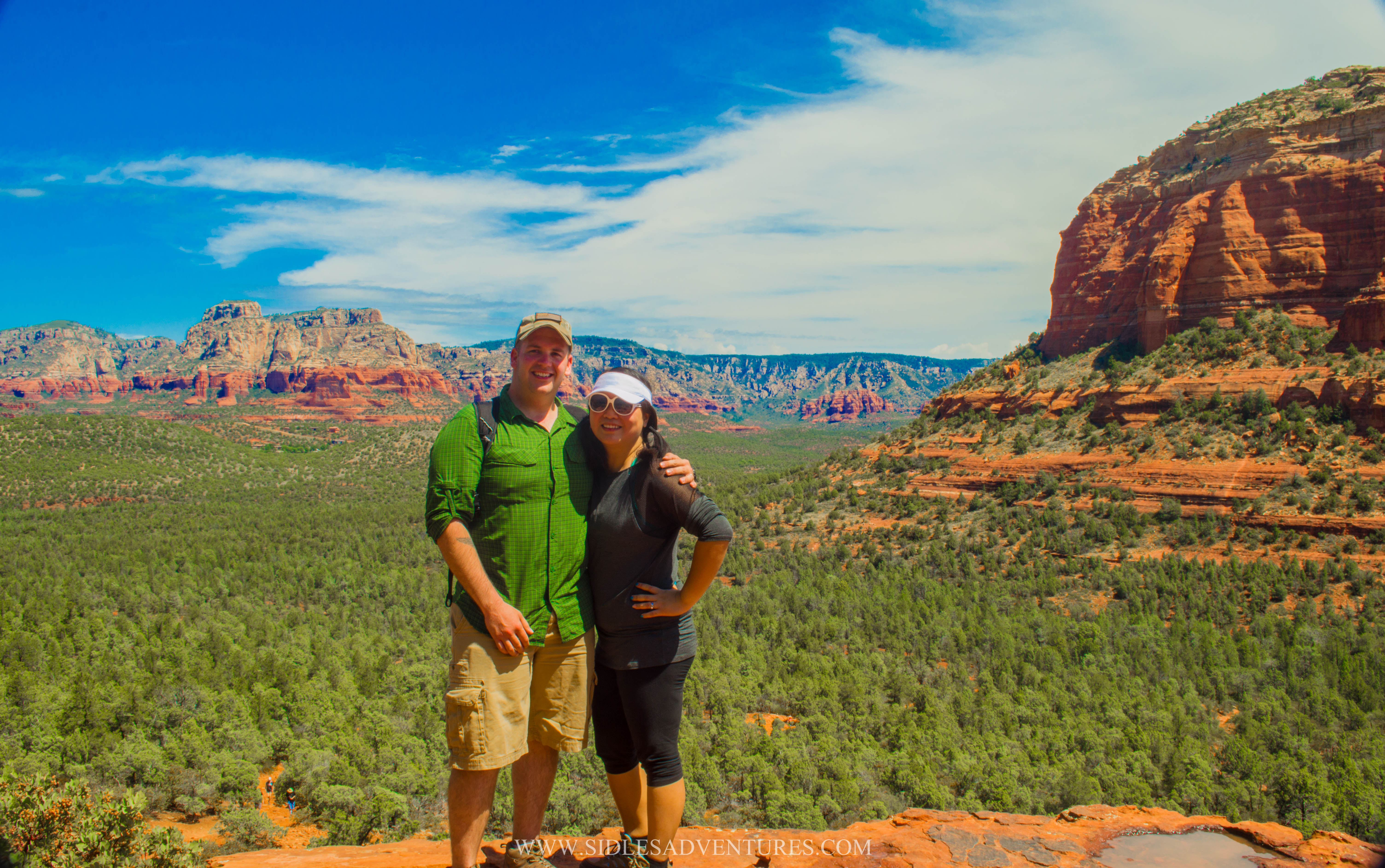
I've been meaning to post this for a while, but my wonderful husband Drew was thoughtful enough to guest post again! This time he talks about another state park he explored while in Arizona.

Kartchner Caverns is a state park in Southern Arizona, United States, featuring a cave with 2.4 miles (3.9 km) of passages. The park is located 9 miles (14 km) south of the town of Benson and west of the north-flowing San Pedro River on the east flank of the Whetstone Mountains.
Long hidden from view, the caverns were discovered in 1974 by local cavers, assisted by a state biologist who helped in its preservation. The cavers found a narrow crack in the bottom of a sinkhole, and followed the source of warm, moist air toward what ended up being more than 2.5 miles (4.0 km) of pristine cave passages.


Hoping to protect the cave from vandalism, they kept the location a secret for fourteen years, deciding that the best way to preserve the cavern — which was near a freeway — was to develop it as a tour cave. After gaining the cooperation of the Kartchner family and working with them for ten years, together they decided that the best way to achieve the goal of protection through development as a tour cave was to approach Arizona State Parks. In 1985, The Nature Conservancy acquired an option to purchase the land. The discovery of the cave was finally made public in 1988 when the landowners sold the area to the state for development as a park and show cavern. Prior to its grand opening in 1999, the state spent $28 million on a high-tech system of air-lock doors, misting machines and other equipment designed to preserve the cave. Careful and technical cave state park development and maintenance are designed to preserve the natural cave system.


The caverns are carved out of limestone and filled with spectacular speleothems which have been growing for 50,000 years or longer, and are still growing. The two major features of the caverns currently available to the public are the Throne Room and the Big Room. The Throne Room contains one of the world's longest (21 ft 2 in (6.45 m)) soda straw stalactites and a 58-foot (18 m) high column called Kubla Khan, after the poem. The Big Room contains the world's most extensive formation of brushite moonmilk; it is closed during the summer for several months (April 15 to October 15) each year because it is a nursery roost for cave bats
Other features publicly accessible within the caverns include Mud Flats, Rotunda Room, Strawberry Room, and Cul-de-sac Passage. Approximately 60% of the cave system is not regularly explored.

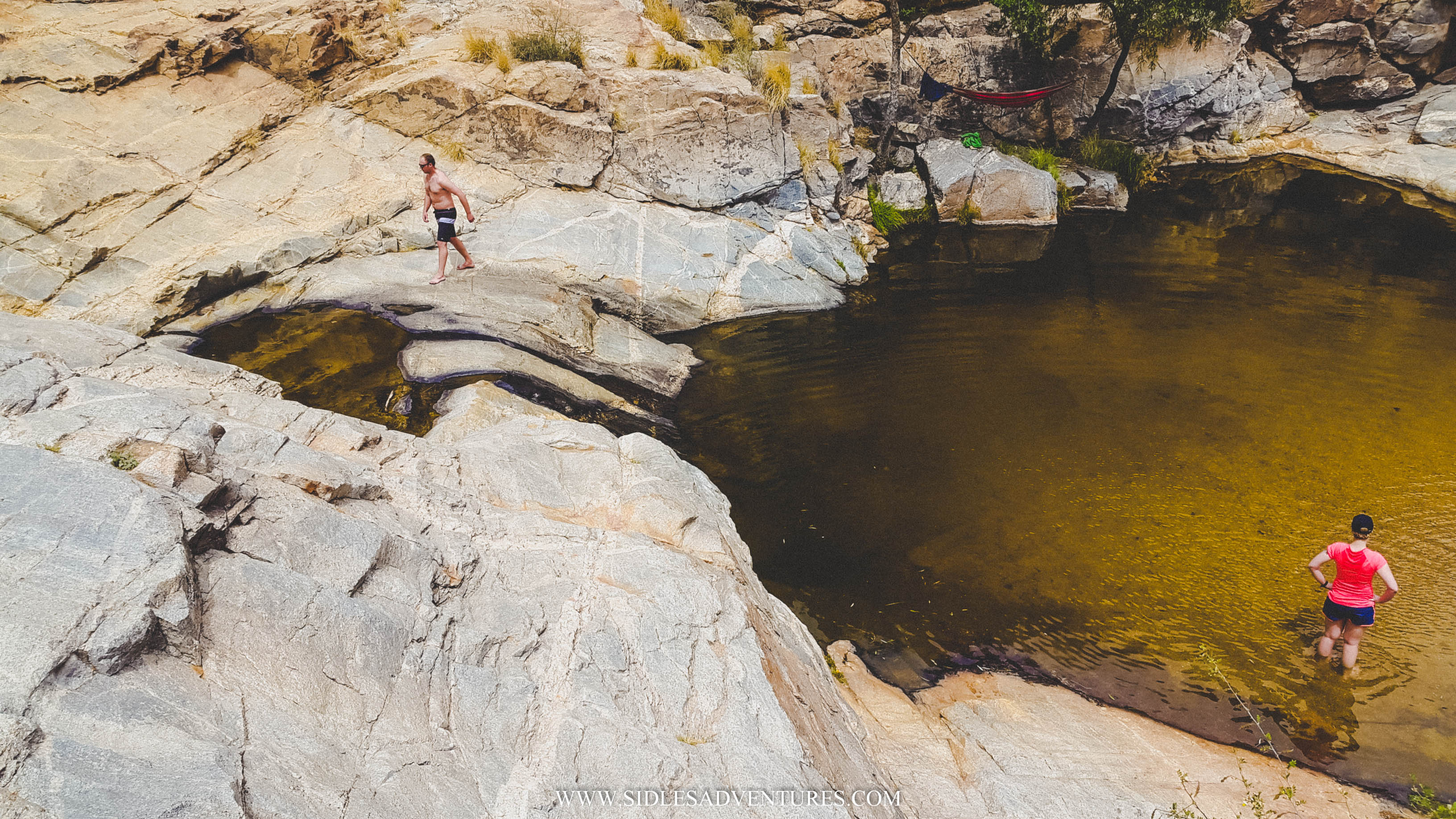
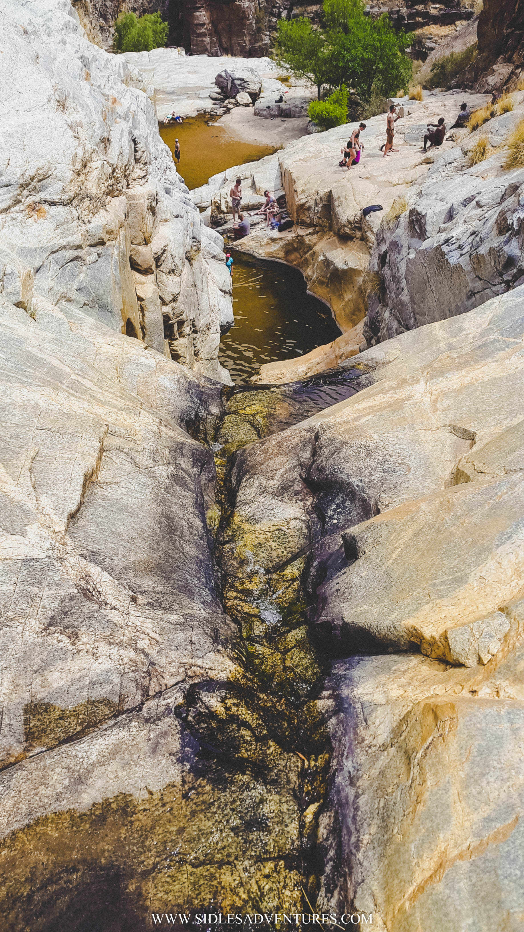
The cave is very cool! It is advertised as being rated the most impressive cave in the United States. They are HUGE and a very impressive sight, and the State Park has added nice pathways to it is very easy to walk on, there are no stairs (that I can remember), and there is decent lighting.
I heard about Kartchner Caverns from a friend who is originally from the Tucson area. She says that Kartchner Caverns is her favorite sight to see in Arizona. I can easy see why she says so. As soon as you walk in, you are in awe. You can see the original footprints in the deep mud at the bottom of the cave where the cavers who discovered the cave first entered.
The tour takes you from room to room showing the development of the cave and the guide gives you interesting facts and points out different highlights of the cave. One very cool thing about this cave is the “cave bacon”. Cave bacon is a rock formation officially known as layered flowerstone. The effect is created by the deposition of water-borne minerals traveling over and over on the same route. I have been to a few caves, and this was the first time I saw cave bacon. It really does look like bacon! Haha

The highlight of the tour is most definitely the “Throne Room”. In fact, the tour ends with a light show where various spotlights highlight the main attractions of Throne Room. The main attraction of the Throne Room is the Kubla Khan, and it is actually much, MUCH larger than it looks! It’s actually over 50 feet tall! It’s actually very cool.
Fun fact: the cavers who discovered the cave named almost all of the different sights within the cave.


The cave cannot be explored on your own. The only way to experience the cave is to purchase a ticket for the guided tour. Unfortunately, this option has a couple down sides; 1) tickets as $22.50 for adults, and 2) the tickets sell out quick! My friend told me it is best to get there first thing in the morning, because most of the time, tickets for all the tours sell out by 10:00 am.
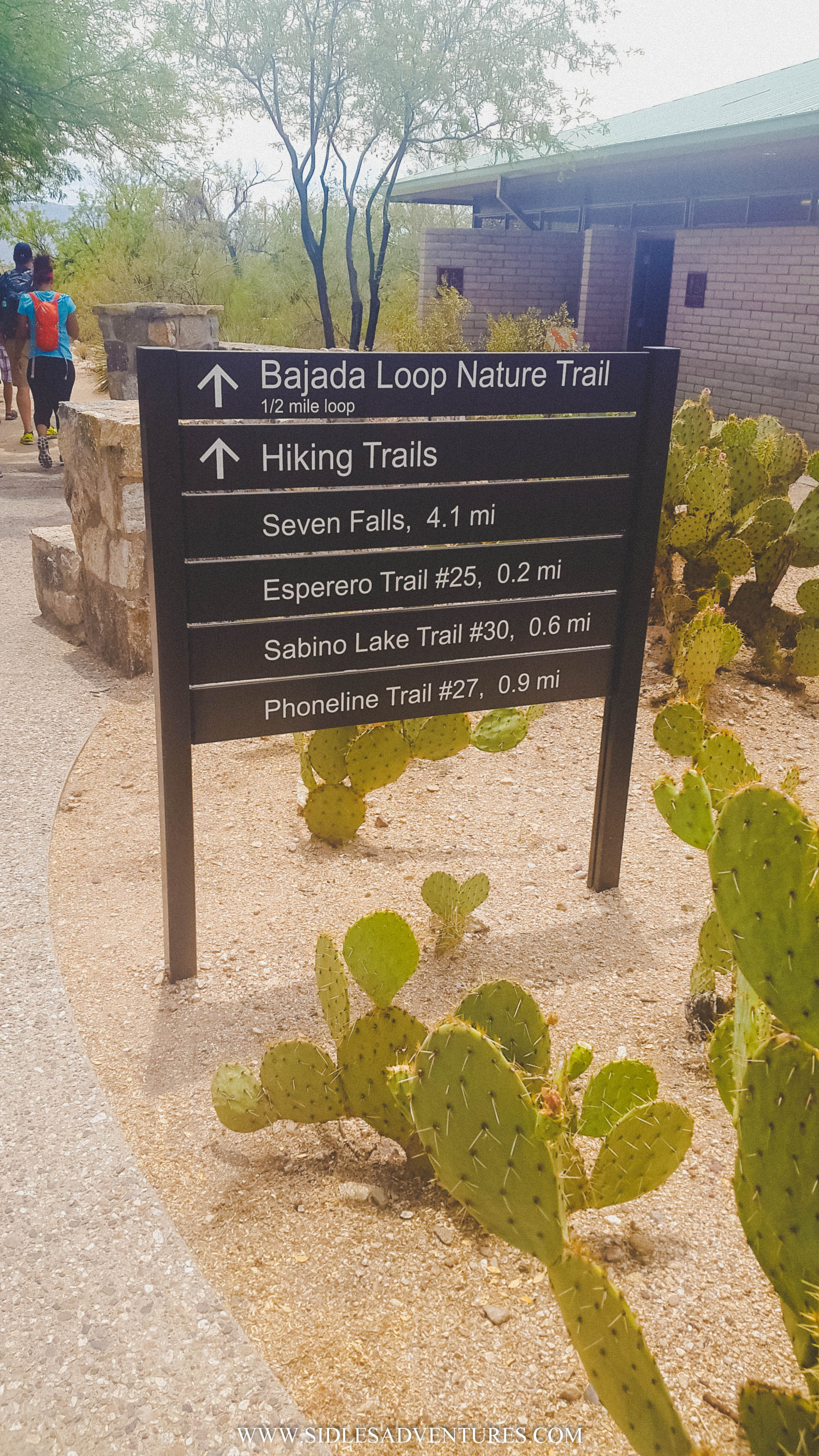
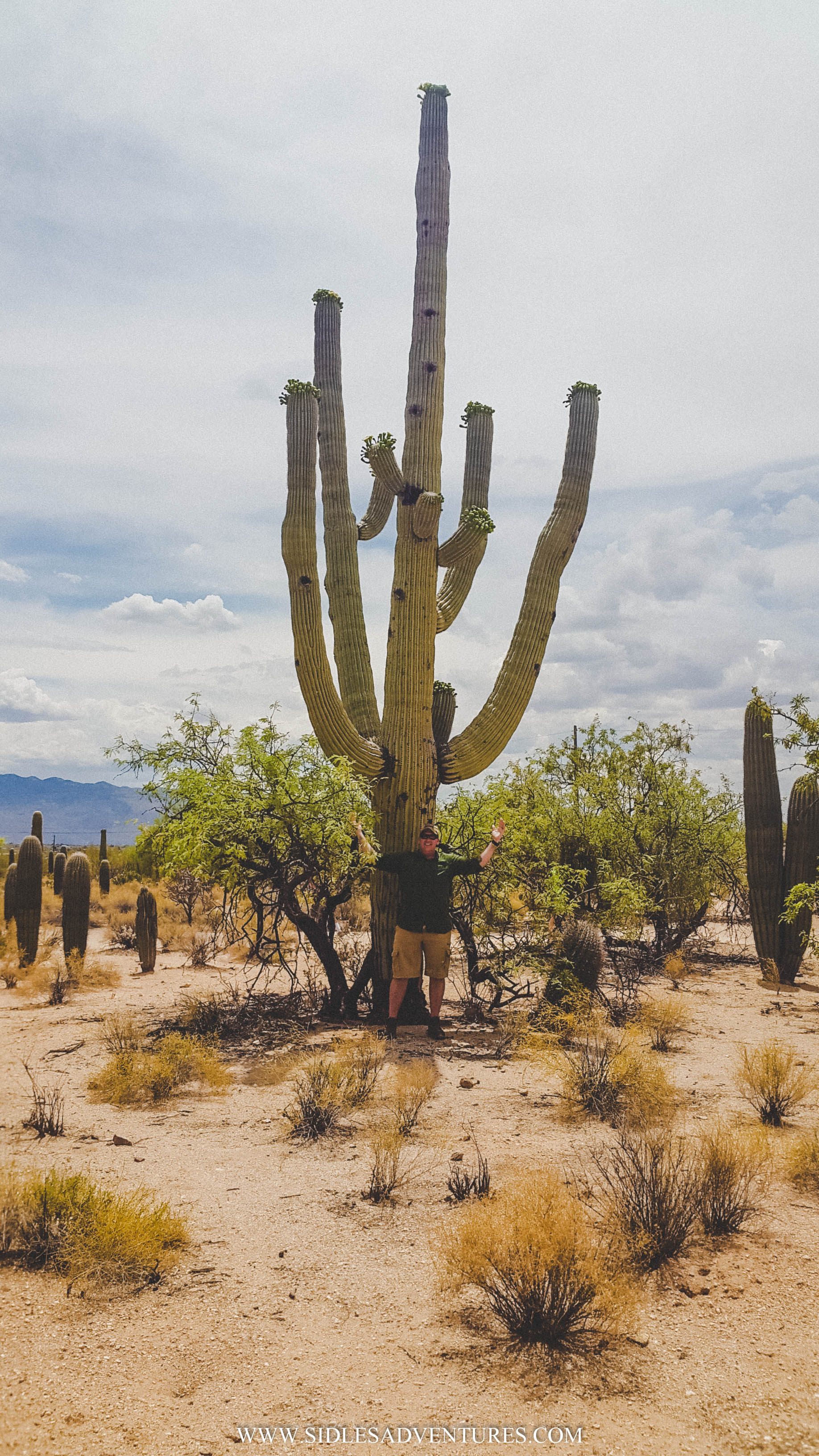
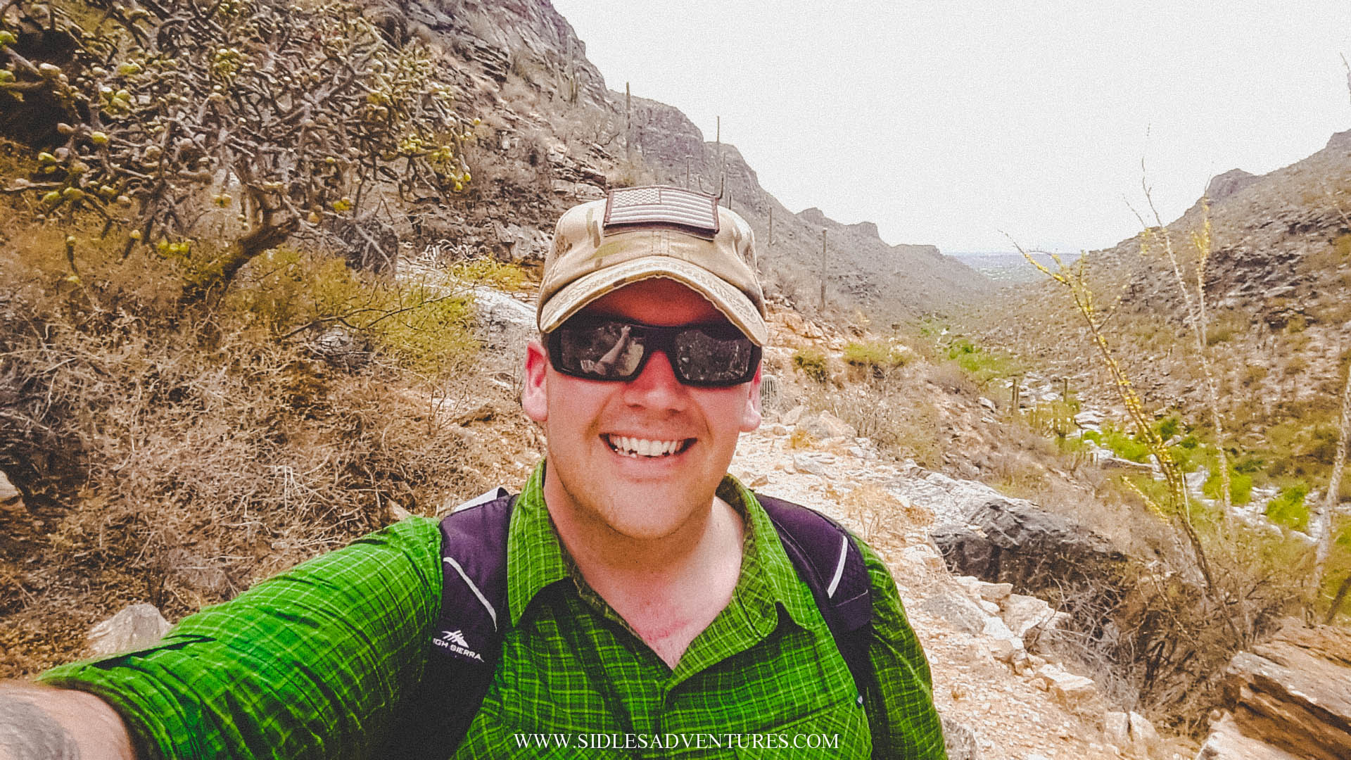
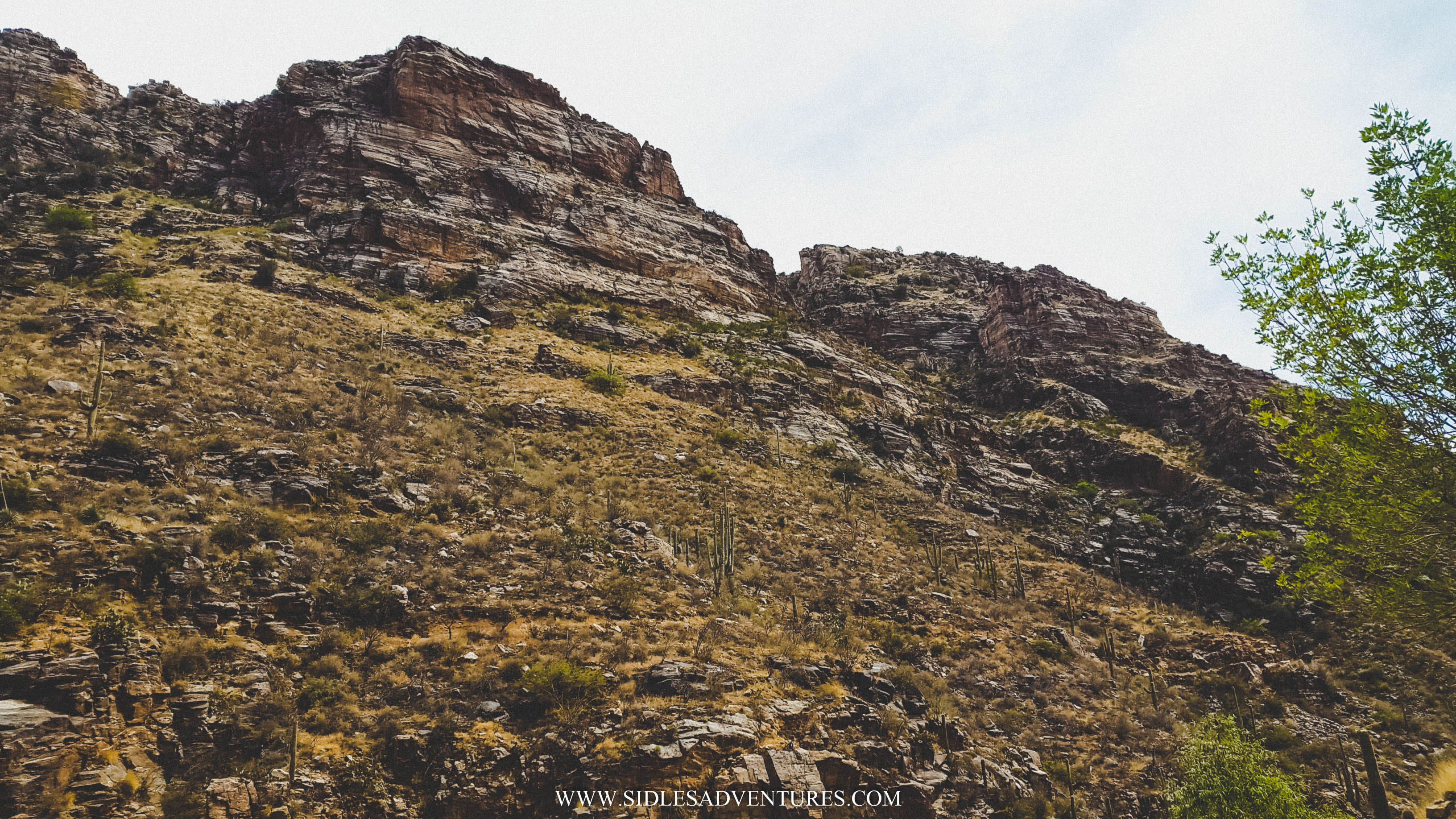
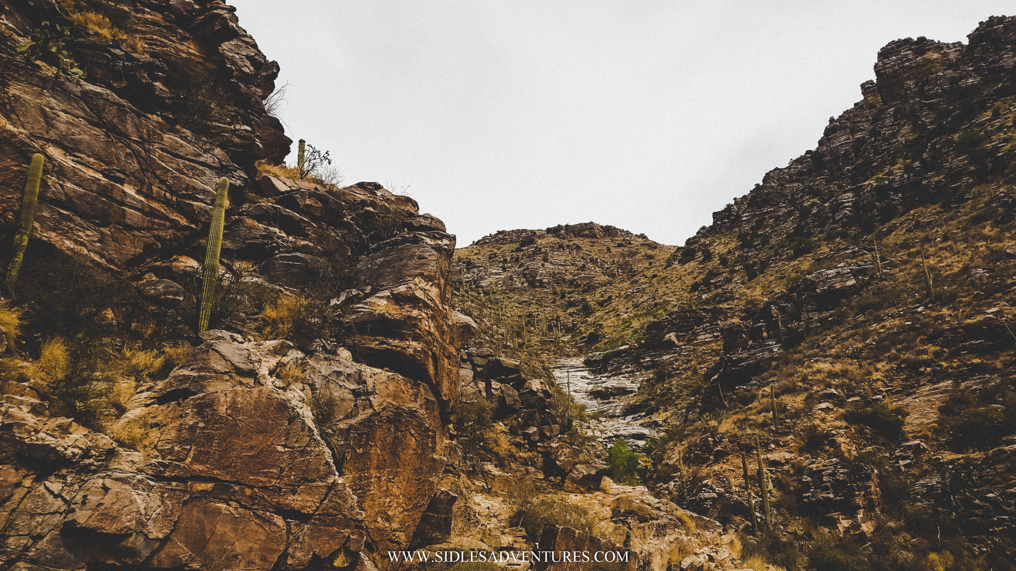
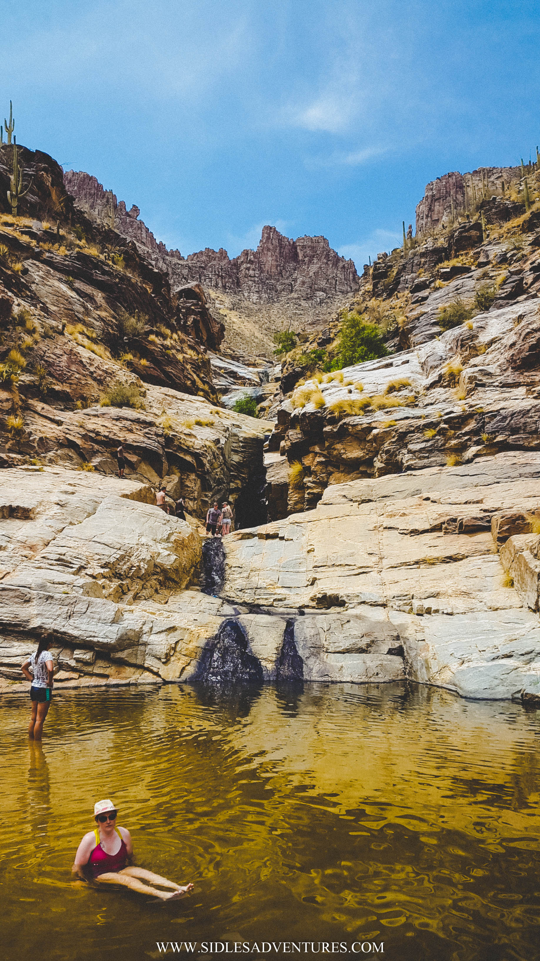
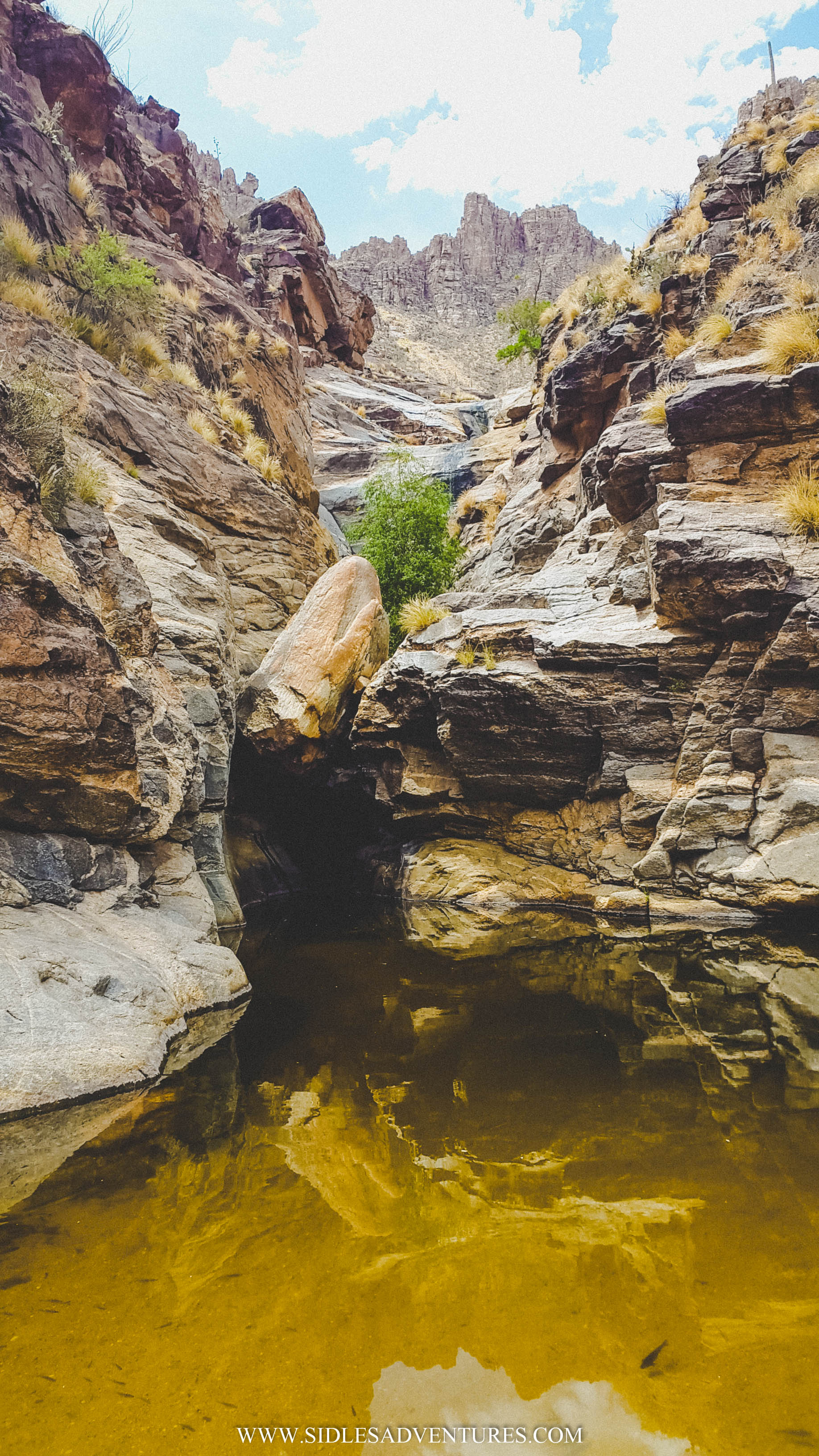
If you arrive early and have to wait a few hours for a tour, don’t worry. There is more to do in the Park. There is a museum in the Visitor Center. The park also includes hiking trails above the caverns for public use. The longest trail, the Guindani Trail, is 4.2 miles, while the shorter trail, the Foothills Loop Trail, measures 2.5 miles. Be aware that there is a $2.50 per vehicle fee to enter the park.

Hours: Monday – Sunday 8:00am – 5:00pm
Address: 2980 AZ-90, Benson, AZ 85602

Wednesday, August 03, 2016

Sabino Canyon, AZ


My wonderful husband, Drew is in Arizona for the summer, he's been exploring this beautiful state and was willing to guest post for me. Best husband ever! In this post he's going to share his experience in Southern Arizona hiking to the Seven Falls near Tucson.

--

The Seven Falls hike is one of the most popular hikes in Southern Arizona, and when the water level is right it is definitely one of the best for taking a dip.

When I heard about the Seven Falls hike, I couldn’t wait to go myself. Once I started tell people about my plans to hike the Seven Falls Trail, more and more people became interested in making the hike as well. By the time the weekend came around, 4 other people agreed to make the 8.2 mile-roundtrip hike. From what I heard, it is best to try and get started on the hike first thing in the morning, especially since Southern Arizona can get VERY hot, very quickly. Since there is no parking for Bear Canyon, the start of the Seven Falls hike begins at the Sabino Canyon Visitor Center. From the Sabino Canyon parking lot, hikers just have to follow the signs for “Seven Falls”. There is also a tram that you can hop on at the visitor center that will take you a little over a mile up the road.


The hike starts out as a wide dirt trail, but meets up with a paved road after about a half mile. If your go on a particularly hot day like I did (it was 96 degrees when we started the hike), there is a dirt trail that runs parallel to the hard ball road and meets back up with the road at the start of the Bear Canyon trail head. It will offer you some relief from the extreme heat coming up off the asphalt road.


Once on the Seven Falls trail you will cross the Bear Creek seven times before getting to the falls. There are not very many signs directing you where to go once you get on the trail head, but the path is pretty well traveled so it isn’t difficult to find your way. For the most part, the trail follows the creek, so if you are unsure which way to go, just follow the path in the direction of the creek. Depending on the water levels the crossings over the creek can range from easy to mildly difficult, so be careful. After the seventh crossing, the trail climbs up the east side of Bear Canyon through a series of switchbacks with a moderate incline until wrapping around the back side of Bear Canyon to Seven Falls, which can be seen clearly from the trail.


Once you make it to the falls, there is a couple small lakes that you can swim in, or just cool off in. If you want to make your way up to the top of the falls, be aware that it will require you to climb some steep rocks, and will require moderate skill from the time you reach the halfway point to the top. But the view from the top is amazing.


The trip back seemed much easier than the trip to the falls, and since it was almost entirely downhill, it took far less time to get back to the Sabino Canyon Visitor Center than to get to Seven Falls. The total round trip should take approximately 3 hours, but it would be best to give yourself extra time.

The trail is dog-friendly.


Some helpful hints:
+ Bring lots of water! The trail offers little shade.
+ Opt for hiking boots over running shoes, most of the trail is over rocky terrain
+ Wear fast-drying clothes or bring a towel, you’re going to want to spend time in the water once you reach the falls
+ The base of the falls is a great place to break for lunch or a picnic.
+ Be sure to bring plenty of water and snacks


Address:
Sabino Canyon - Bear Creek
Tucson, AZ 85750

Monday, July 18, 2016

Devil's Bridge, AZ


Sedona is known for its many hiking trails and outdoor activities. So naturally, when planning our trip, I knew we had to do some type of hike through the red rocks. But the lazy girl in me knew that I wouldn't want to hike for very long, so after some research I found the Devil's Bridge. The Devil’s Bridge is the largest natural sandstone arch (54 feet tall) in the Sedona area. After showing Drew a picture, I knew this was the hike we were going to take.


The Devil's Bridge is one of the most popular hikes in the area, throughout my research I knew that we needed to wake up first thing in the morning and make the hike. Not only because it's Arizona in July, but because it was also a holiday weekend. We had everything planned to wake up at 6am, but when we woke up, it was pouring and it wasn't going to stop until 8am.

Thankfully the rain eventually stopped as we headed into Sedona. There are 3 different ways to get to the Devil's Bridge depending on the type of vehicle you have.


Depending on your vehicle capabilities, you can go on a short hike or a longer trail to the arch. To get to the closest parking area, you need to have a 4WD vehicle, since the last bit of the road is very washed out with a couple of potholes. Since, we only had a little compact rental, it's safe to say we made the right choice to park and hike.


First option is to park in the lot right before the 4WD trail starts and walk alongside the road, or follow the trail (we ended up following the trail then linking up to the road, then walking along the road on the way back) it's about a 3.6 miles RT.


Second option, is to park at the Chuckwagon Trail head, and hike through the connecting trail to the Devil's Bridge. This trail eventually links up near the parking lot and bumpy road, this trail appeared to be a much more scenic route for those looking for a hike. Round trip, you are looking at around 6 miles of hiking if you opt for this path.

In my opinion the first option is the best, you do have to get there as early as possible, when we arrived, there were about 3 other cars in the parking lot. But by the time we left the parking lot was full, and cars were lined up on Dry Creek Road. But if you love to sleep in, take option 2.


We decided to follow the trail instead of walking along the road. It's a bit longer, but the views are absolutely beautiful. I wish Rylie was able to join us on this trip. She would've had so much fun running around.


The trail itself is pretty easy, basically follow the trail until you have to start climbing a rock staircase that leads up the rocks to the arch. At one point, there is a portion of rocks that require you to practically climb up, it looked pretty scary, but it’s not very challenging. In this case, looks can be deceiving!


Once we finally made it to the bridge Drew went running across without a second thought. He scared the crap out of me, from the angle I was standing it looked it he was at the edge! He sure knows how to keep me on my toes! But when I finally made it over I realized that it was much safer than I thought.  Although it looks terrifying to cross the bridge, it is actually about 5 feet across and 45 feet long.


We ended up spending more time at the bridge than we had planned. There was a crowd of people, but everyone was so great about not being on the bridge to let other get their picture.


The hike back down was much quicker than expected. It was about 10:30a once we started making our way down. The sun was high in the sky and the Arizona heat hit us hard. I know one thing, even though our morning didn't start off as planned, I'm glad we started as early as we did!

Tuesday, July 12, 2016

Tuzigoot National Monument


If you were following along while we were living in Germany, you know that I absolutely love castle ruins. Thankfully, in Europe there is not shortage of ruins. Since the USA is such a young country and we tend to destroy things rather than preserve them, I was pleasantly surprised to find that there are ruins here in the USA! To be fair, Tuzigoot isn't actually castle ruins, they are ruins, but from a distance they look like castle ruins.


After our visit to Montezuma Castle, while browsing the gift shop, we came across a picture of Tuzigoot. It looked just like a ruin and both Drew and I agreed that if it was nearby we would go and see it. We asked a Ranger where it was located and she told us it was about 30 minutes away in Clarkdale. Turns out the ruins, were about 10 mins away from our hotel (what are the odds?)


Tuzigoot National Monument preserves a 2- to 3-story pueblo ruin on the summit of a limestone and sandstone ridge just east of Clarkdale, Arizona, 120 feet above the Verde River floodplain.
Tuzigoot is the largest and best-preserved of the many Sinagua pueblo ruins in the Verde Valley. The ruins at Tuzigoot incorporate very few doors. Instead they use trapdoor type openings in the roofs, and use ladders to enter each room.


At this site, remains of pithouses can be seen as well as petroglyphs, although the petroglyphs can only be viewed on certain days of the week.


We arrived to Tuzigoot a little after 3:30p, although we have the NPS pass, they stop charging an entrance fee at 3:30 (for those who want a save a few dollars). If you're looking to save some money, check it out at after 3:30. You can walk up to the ruins and see everything in less than 30 minutes. A self-guided, 1/3-mile loop trail leads you around and through an incredible 110 room pueblo. The trail also offers outstanding views of the Verde River and Tavasci Marsh. Follow the road another 1/2 mile round trip, it will take you to a beautiful constructed overlook of Tavasci Marsh. (Much better than the 4km one way to check out ruins!)


Tuzigoot is an elongated complex of stone masonry rooms that were built along the spine of a natural outcrop in the Verde Valley. The central rooms stand higher than the others and they appear to have served public functions. Tuzigoot is Apache for "crooked water", from nearby Pecks Lake, a cutoff meander of the Verde River. Historically, the pueblo was built by the Sinagua people between 1125 and 1400 CE.


This was such an interesting site to see. Unfortunately mother nature wasn't cooperating with us, so we didn't get to stay quite as long as we would've like. But if you're in the area, it is a must see!

Additional Info:
GPS: 25 Tuzigoot Rd, Clarkdale, AZ 86324
Cost: Adults $10 // Children (15 & Under:) Free
National Parks Services Pass: Free
Hours: 8a-4p Daily // Christmas Day: Closed
Pet Friendly
Stroller Friendly

Wednesday, July 06, 2016

Montezuma Castle National Monument


Ever heard of Montezuma, the famous Aztec emperor? Well unfortunately these ruins in Arizona are not where he once lived. When European-Americans first observed the ruins in the 1800s, by then long-abandoned, they named them for the famous Aztec emperor Montezuma in the mistaken belief that he had been connected to their construction. The dwelling had been abandoned more than 40 years before Montezuma was even born!


Montezuma Castle National Monument protects a set of well-preserved Ancestral Puebloan cliff dwellings near the town of Camp Verde, Arizona. The dwellings were built and used by the Sinagua people. Montezuma Castle is situated about 90 feet  up a sheer limestone cliff, facing the adjacent Beaver Creek, which drains into the perennial Verde River just north of Camp Verde. This 20 room high-rise apartment, nestled into a towering limestone cliff, tells a story of ingenuity, survival and ultimately, prosperity in an unforgiving desert landscape.


It is one of the best-preserved cliff dwellings in North America, in part because of its ideal placement in a natural alcove that protects it from exposure to the elements. The precariousness of the dwelling's location and its immense scale - almost 4,000 square feet of floor space across five stories - suggest that the Sinagua were daring builders and skilled engineers.


It is an easy monument to visit. On our way to Sedona, we had some time to kill and decided to follow the signs to see the monument. It's just a short distance off Interstate 17, at exit 289. There is a 1⁄3 mile (0.54 km) paved trail starting at the visitor center that follows the base of the cliff containing the ruins.


Unfortunately access to the interior of the ruins has not been allowed since 1951 due to concerns about visitor safety and damage to the dwelling. But it was still very cool to look at, even though it had started to rain. There are about 400,000 tourists visit the site each year! The park is open from 8am to 5pm every day of the year, except for Christmas Day. It is $10 per adult to visit (no charge for children 15 and under) or if you have a National Parks Services Pass, it's free (about $30 a year, you are entitled to 4 adults, or 1 car load) the NPS pass is definitely worth investing in.


It was a quick trip, there are trails that continue on and if it didn't start raining we would've stayed to check things out. If you've got the time, make sure to stop off stretch your legs and enjoy the history!

Additional Information:
GPS: Montezuma Castle Rd, Camp Verde, AZ (I-17 Exit 289 Follow Signs)
Cost: Adults $10 // Children (15 & Under:) Free
National Parks Services Pass: Free
Hours: 8a-5p Daily // Christmas Day: Closed
Pet Friendly
Stroller Friendly